


YokohamaMAPS app for iPhone and iPad
Developer: Stroly Inc.
First release : 08 Aug 2011
App size: 28.76 Mb
Sorry, This application is Japanase only.
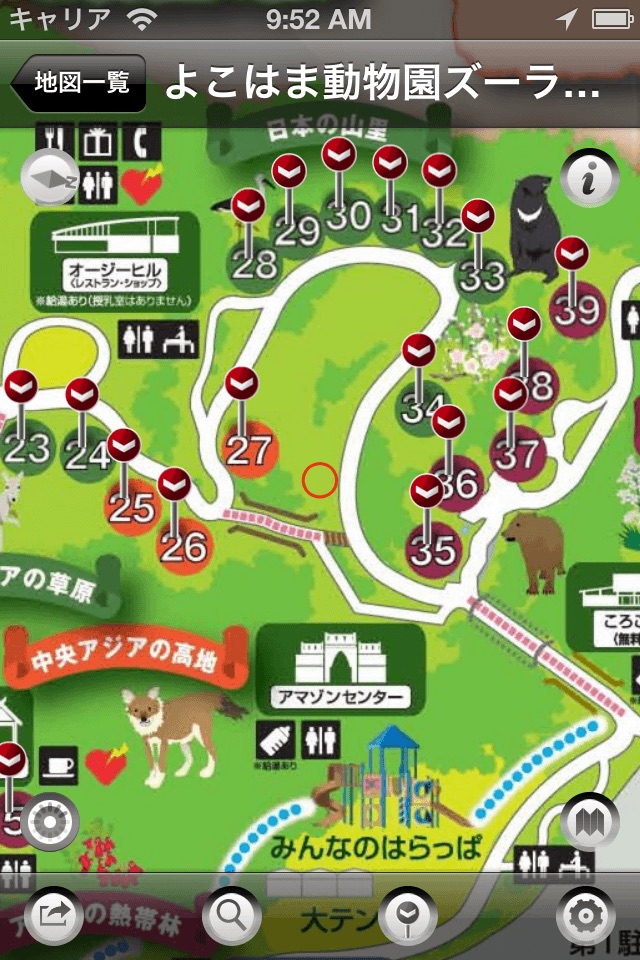
Various maps with different times and themes are collected in "Yokohama Maps".
You may discover new aspects of Yokohama that you havent known while walking around the town with "Yokohama Maps".
As maps are going to be added occasionally, we hope you enjoy it for a long time.
[App Features]
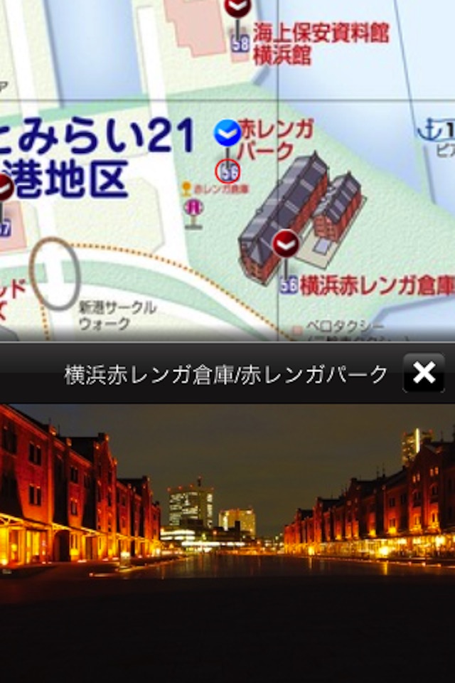
The users current location shows up on a variety of historical maps Indicated current location moves, which provides the users with the experience of strolling around in historical maps. By touching a landmark icon displayed on the map, the user could get information of historical sites around. Stroly - Historic has a variety of maps classified by the areas, users could enjoy regional historical maps.The historical maps can be switched to Internet Maps.
Some maps are provided by the followings.
Naka ward of Yokohama City
Yokohama Convention & Visitors Bureau
Keihin Electric Express Railway Co., Ltd.
Yokohama Minatomirai Railway Company
Open Yokohama 2011/City of Yokohama:Culture and Tourism Bureau
【NOTICE】
1. Stroly shows your location using GPS. Using Stroly on iPod
Touch or iPad WiFi might not show accurate current position.
2. No modification is done to the description of original maps used in
this app.
3. We cannot guarantee 100% accuracy of the maps and locations because
of the distortion of the original maps and the GPS accuracy. We would
like you to enjoy the original uncertainty of the historical maps.
4. We have no intention of violating human rights by disclosing the
historical maps.(Scholex co., ltd. ATR Creative Inc. All rights reserved.)